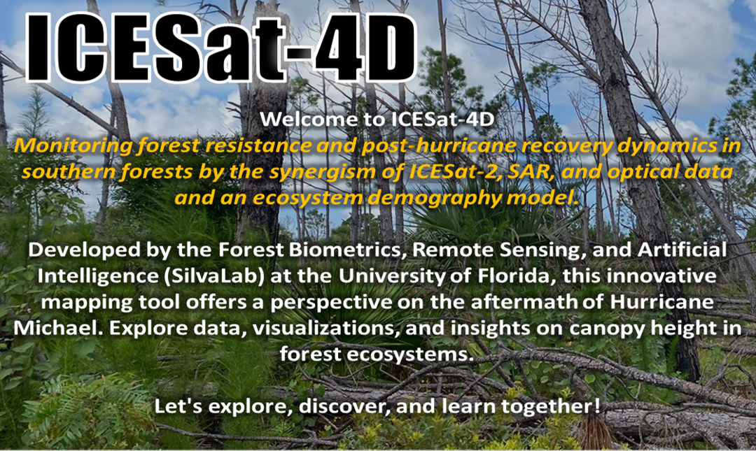
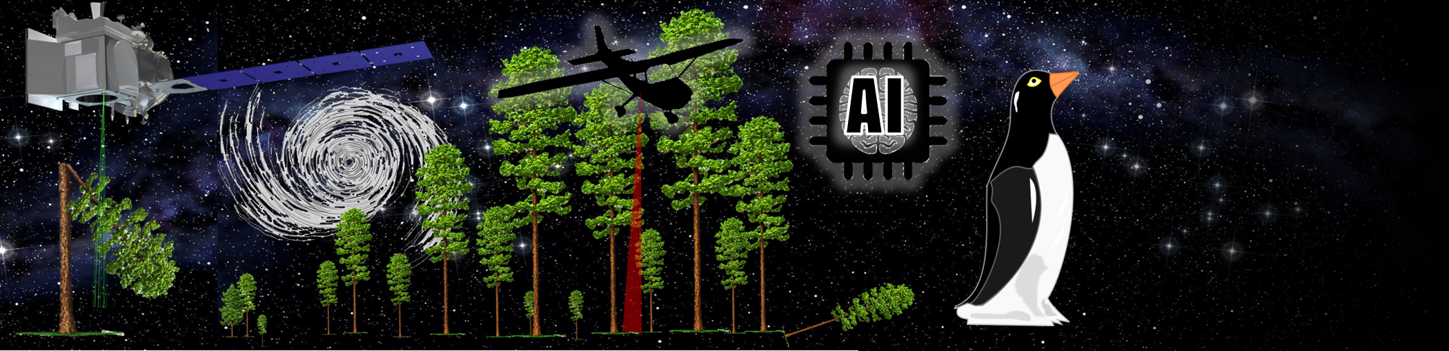
Monitoring forest resistance and post-hurricane recovery dynamics in southern forests by the synergism of ICESat-2, SAR, and optical data and an ecosystem demography model.
Developed by the Forest Biometrics, Remote Sensing, and Artificial Intelligence (SilvaLab) at the University of Florida, this innovative mapping tool offers a perspective on the aftermath of Hurricane Michael. Explore data, visualizations, and insights on canopy height in forest ecosystems.
Let's explore, discover, and learn together!